
File:Ghana physical map.svg

Size of this PNG preview of this SVG file: 443 × 600 pixels. Other resolutions: 177 × 240 pixels | 354 × 480 pixels | 567 × 768 pixels | 756 × 1,024 pixels | 1,513 × 2,048 pixels | 851 × 1,152 pixels.
Original file (SVG file, nominally 851 × 1,152 pixels, file size: 1.33 MB)
Summary
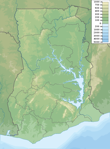
| Description | Ghana physical map, parameters equal to File:Ghana location map.svg |
| Date | |
| Source | Own work |
| Author | Urutseg |
Licensing
I, the copyright holder of this work, hereby publish it under the following license:
| This file is made available under the Creative Commons CC0 1.0 Universal Public Domain Dedication. | |
| The person who associated a work with this deed has dedicated the work to the public domain by waiving all of their rights to the work worldwide under copyright law, including all related and neighboring rights, to the extent allowed by law. You can copy, modify, distribute and perform the work, even for commercial purposes, all without asking permission.
|
File history
Click on a date/time to view the file as it appeared at that time.
| Date/Time | Thumbnail | Dimensions | User | Comment | |
|---|---|---|---|---|---|
| current | 22:14, 16 December 2019 | | 851 × 1,152 (1.33 MB) | NordNordWest | upd |
| 18:05, 16 March 2011 |  | 851 × 1,152 (1.27 MB) | Urutseg |
File usage
There are no pages that use this file.